Listeners:
Top listeners:
-
 play_arrow
RiseupRadio RiseupRadio UK
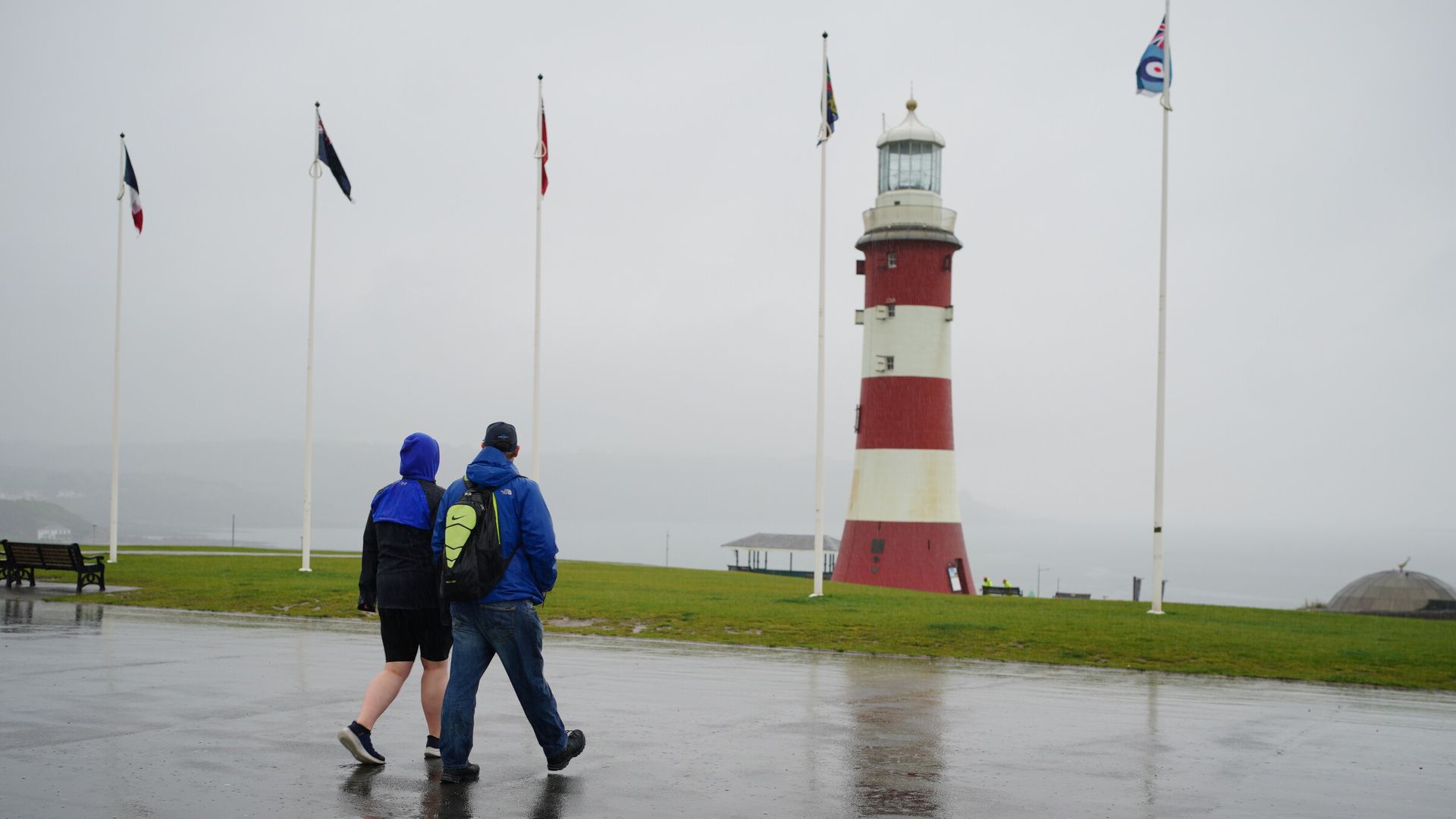
A wet Easter is in store for parts of the UK as a spell of unsettled weather moves across the UK, and heavy rain is possible in places.
A yellow rain warning covering southwest England, Wales, and parts of the West Midlands and North West along the border, issued by the Met Office at noon on Tuesday, runs until noon on Wednesday.
Up to 75mm (three inches) of rain is possible in the area covered by the warning, and more than 50mm (two inches) fell in Whitechurch in West Wales on Tuesday, the agency said.
The latest Sky weather forecast for your area
A similar warning for the eastern part of Northern Ireland, runs from 2am on Wednesday, until 9pm.
Persistent, sometimes heavy rain, is likely there throughout the day, as most of the warning area sees 20-30mm (0.8-1.2 inches).
High ground in County Antrim and County Down could see 50-60mm (2-2.4 inches) before the rain eases from the West during the evening.


Some areas may even see flooding, the warning says, but “significant impacts are not anticipated” following recent dry weather, according to chief meteorologist Matthew Lehnert.
The River Torridge is likely to flood between Dolton to Bideford in Devon, the Environment Agency has said.
It has issued 14 alerts, where flooding is possible, for the South East, Devon, and Cornwall on Wednesday morning.
A low-pressure system moving in from near Portugal is behind the change, Mr Lehnert said.
Rain, cloud, and brisk winds are expected to move north throughout Wednesday, turning drier in the South with some sunshine.
Thursday should see bright and dry conditions with a few showers with spells of rain between brighter interludes into the Easter weekend, the Met Office said.
The unsettled conditions are expected to continue throughout the weekend, with a risk of hail and thunder from Sunday, before a spell of more dry and sunny weather next week.
Temperatures on Tuesday ranged from minus 2.2C (28F) in Loch Glascarnoch in the north of Scotland to 17.4C (63F) in Frittenden, Kent.
Read more:
Inflation falls – money latest
Bomb plotter back at Belmarsh
Tennis star complains about ‘smelly’ opponent
Sky News meteorologist Chris England said the holiday weekend looks unsettled and “not as warm as recently”.
However, eastern parts “look fine” for much of the time, and it will be “fairly warm in the South East by day”, he said.

“Thursday will see sunshine and showers for most parts, with the showers concentrated in the North and West, while Friday will turn wet and windy over Ireland, Northern Ireland and the far west of Britain, mainly the South West,” England said.
“Eastern Britain will be mostly fine. The rain will become increasingly light and patchy on Saturday, largely remaining in situ, but cloud and a few drizzly outbreaks will extend into the South East later.
“Sunday will be dry for many, although dull and damp in the West, but Ireland can expect rain during the afternoon.
“Easter Monday looks mostly fine in the North, cloudy with outbreaks of rain for many southern, then central parts.”


-

Midday Mix
Music of all ages for the perfect day!
No stress, just non-stop tunes to fuel your afternoon – only on Riseup Radio.
close Top popular


Post comments (0)